From Space to Soil: How Satellites Are Revolutionizing New Zealand Precision Agriculture
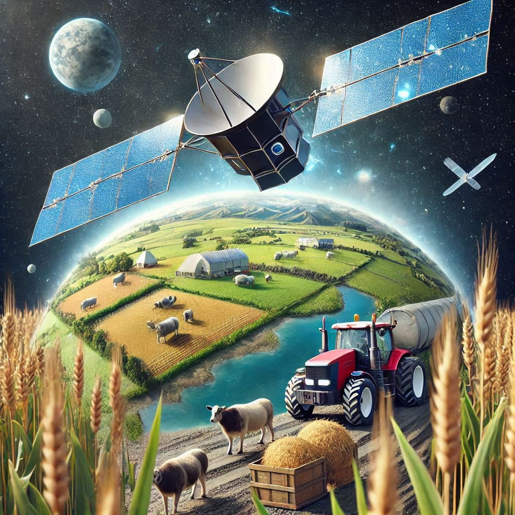
Precision agriculture, also known as smart farming, is changing how we manage land and grow food. By using advanced satellite technology, farmers can enhance crop yields, optimize resource utilization, and foster sustainability. With its wide range of agricultural industries, from viticulture to dairy, countries like New Zealand can significantly benefit from satellite technology suited to their farming requirements.
The Foundation of Precision Agriculture
For precision agriculture to make well-informed decisions regarding planting, irrigation, fertilization, and harvesting, comprehensive, real-time data is essential. By giving farmers access to weather information, high-resolution imagery, and geospatial analytics, satellites are essential to this process. Farmers can remotely monitor their livestock and crops thanks to this information, spotting possible problems before they become serious.

Satellite Imagery and Crop Monitoring
Detailed photos of farmland can be taken by satellites fitted with multispectral and hyperspectral sensors, which can reveal information about crop health, soil conditions, and moisture content. Variations in vegetation indices, such as the Normalized Difference Vegetation Index (NDVI), which uses chlorophyll content to determine plant health, are visible in these photos.
For instance, satellite imagery is used to track the health of vineyards in New Zealand's vast wine industry. Viticulturists can determine regions of grapevine stress brought on by pests, illnesses, or water shortages by examining NDVI maps. This focused strategy saves resources and improves the quality of the wine produced by enabling precision interventions like drip irrigation or localised pest controls.
Weather Forecasting and Climate Resilience
The climate of New Zealand, which differs greatly between regions, has a major impact on agricultural productivity. Planning agricultural operations requires the use of satellite-based weather forecasting, especially in regions that are vulnerable to extreme weather conditions like droughts or periods of intense precipitation.
Satellites like the European Space Agency's Sentinel-3 provide precise information on temperature, precipitation, and wind patterns, helping farmers plan planting times and shield crops from unfavourable weather. Canterbury dairy farmers, for example, can utilize weather data to control pasture rotation and provide the best possible grazing conditions for their animals.
Soil Analysis and Fertilizer Optimization
Healthy soil is the foundation of successful farming, and satellites provide unmatched insights into soil conditions. By detecting changes in soil composition, organic matter, and nutrient levels, remote sensing technology assists farmers in tailoring their fertiliser application.
This information ensures that pastures are maintained in optimal condition in New Zealand, where sheep and beef farming dominate. Precision fertilisation reduces costs, minimises its negative impacts on the environment, and encourages sustainable grazing practices.

Precision Irrigation and Water Management
Effective water management is a significant concern for farmers worldwide, including New Zealand. Satellites are essential to precision irrigation because they provide information on soil moisture content and evapotranspiration rates.
Farmers can reduce waste and promote sustainability by adopting precise irrigation plans that deliver water exactly where needed. Farmers can optimise water use and improve efficiency by integrating this data with farm management systems. This approach is particularly valuable in regions like Hawke's Bay, where vineyards and orchards require substantial water resources. Effective management of these systems helps balance water conservation with agricultural needs, fostering a more sustainable future.
Livestock Monitoring and Management
Satellites also help with livestock management by providing geospatial data that monitors animal behaviour and movement. This feature is beneficial in the vast sheep and cattle farms of New Zealand, where it can be challenging to monitor big herds across rough terrain.
Using geospatial tracking, farmers can evaluate pasture utilization, identify possible health problems, and locate livestock gathering spots. With other gadgets like GPS collars, satellite data allows for even more accurate livestock management.
Sustainability and Environmental Stewardship
The ability of satellite-enabled precision agriculture to advance sustainability is among its most important benefits. Farmers can lessen the impact of agriculture on ecosystems and their carbon footprint by using resources as efficiently as possible.
Satellites aid in monitoring river and lake water quality in New Zealand, where agricultural runoff is a significant concern. In keeping with the nation's commitment to environmental stewardship, farmers can implement practices that safeguard freshwater resources by identifying the sources of pollution.

Challenges and Opportunities
Despite the obvious advantages of satellite technology in agriculture, there are still obstacles to overcome. Small-scale farmers may find it difficult to afford the high prices of sophisticated satellite services and equipment. Additionally, technical know-how is needed to access and interpret complex satellite data.
Initiatives to close this gap are being undertaken in New Zealand through government programs and partnerships with private businesses to increase access to satellite data. AgResearch and Landcare Research, for instance, are developing easy-to-use tools that convert satellite data into insights that farmers can use.
Future Trends in Satellite Agriculture
Satellite-enabled agriculture has a bright future, as technological developments are set to increase precision farming's efficiency. Near-daily imagery from high-resolution satellite constellations, such as those created by Planet Labs, will enable farmers to check their fields more frequently and with greater detail than ever before.
In New Zealand, predictive analytics will become achievable by integrating satellite data with machine learning and artificial intelligence (AI), empowering farmers to identify potential issues before they arise. Thanks to emerging technologies like hyperspectral imaging, more accurate interventions will be possible, offering more profound insights into plant health and enabling more precise and timely interventions.

Conclusion
Thanks to satellites revolutionizing agriculture in New Zealand and worldwide, farmers can work smarter, not harder. From crop health monitoring and water optimization to livestock management and sustainability promotion, satellite technology has become an essential tool for modern farming.
By integrating satellite data into farming practices, New Zealand can spur innovation, increase productivity, and promote environmental stewardship. With continued investment in satellite technology and collaboration between scientists, decision-makers, and farmers, New Zealand is well-positioned to lead the global transition to sustainable and precision agriculture.