Space Providing an Operational Edge in Combating Illegal Fishing in the Southern Ocean
Encircling the icy expanse of Antarctica is one of Earth’s most pristine and biologically rich marine ecosystems. It is home to rare species like Antarctic cod, krill, and Patagonian toothfish, which are essential to both the local food chain and the larger marine biodiversity of the planet. However, illegal, unreported, and unregulated (IUU) fishing poses a growing threat to this fragile ecosystem. In addition to endangering marine life, these unlawful activities jeopardise global conservation efforts. Space technologies have emerged as a crucial tool to combat IUU fishing, transforming how authorities monitor, enforce, and protect these isolated waters.
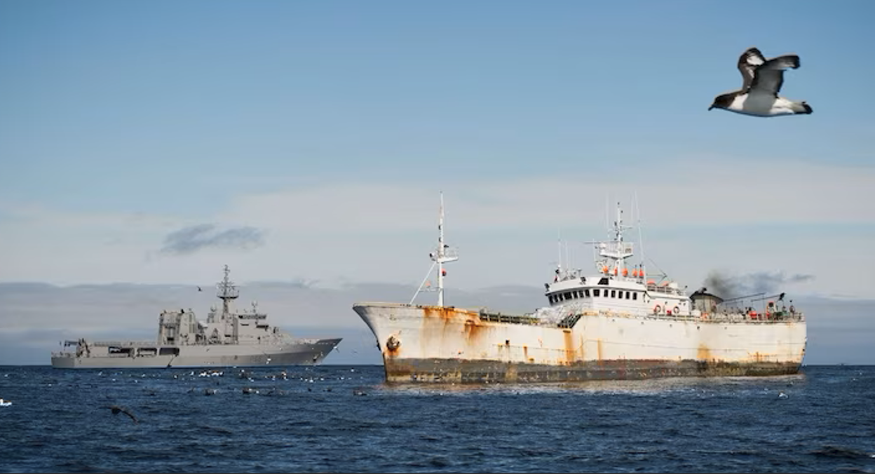
Monitoring the Vast Southern Ocean
Due to its vast expanse, harsh weather, and remoteness, the Southern Ocean is quite challenging to monitor using aviation and marine resources. However, satellites provide a groundbreaking solution. Satellites with advanced technologies, such as Synthetic Aperture Radar (SAR), can capture high-resolution ocean surface images anytime and in all weather conditions. Unlike some optical imaging techniques, SAR offers a consistent and reliable alternative as it remains unaffected by nighttime or cloud cover.
The Automatic Identification System (AIS), mandatory for commercial vessels, is another crucial technology. Satellites collect real-time data on vessel identification, position, speed, and course, transmitting this information to ground stations. To evade detection, illegal, unreported, and unregulated (IUU) fishing vessels may switch off their AIS in areas where fishing is prohibited. In these instances, satellite imagery becomes vital, allowing authorities to locate and track "dark" vessels operating unlawfully. Enforcement agencies can enhance their monitoring efforts by integrating SAR and AIS data, providing a comprehensive overview of regional fishing activities before deploying maritime or aviation resources.
Furthermore, satellite data supplies undeniable evidence of violations, strengthening legal actions against offenders. This transparency fosters international trust and accountability, both critical factors in the campaign to protect the Southern Ocean.

Data Integration and Artificial Intelligence
Satellite constellations can generate large amounts of data; therefore, advanced tools for analysis are required to screen, integrate, and fuse that data. This is where machine learning and artificial intelligence (AI) tools prove useful. They assist in detecting anomalies and irregular patterns, such as vessels operating in restricted areas, congregating near marine protected zones, or exhibiting unpredictable movements.
The AI or machine learning products used by enforcement agencies can facilitate faster and more targeted responses. By reducing the demand on personnel conducting manual analysis, AI boosts the efficiency and accuracy of monitoring efforts, allowing authorities to focus resources where they are needed most.
For instance, when fishing vessels attempt to conceal their activities, machine learning algorithms can utilise SAR data to identify their distinct radar signatures, which can then be flagged by machine learning models trained on historical data.
Broader Implications for Global Fisheries
Many nations aiming to combat IUU fishing use space-based technology to address unlawful fishing in their jurisdictions. Lessons learned from incorporating space are assisting other countries experiencing similar challenges, particularly regarding international cooperation, satellite surveillance, and artificial intelligence analytics. IUU fishing is a global issue that impacts ecosystems ranging from the Pacific to the Arctic.
The advantages of preserving the Southern Ocean's marine biodiversity are vast. Species like krill play a crucial role in the global carbon cycle by sequestering carbon as they feed on phytoplankton and deposit carbon-rich waste in the deep ocean. Space technologies aiding in monitoring fish stocks enhance the sustainability of fisheries, ensuring long-term food security.
Future Innovations and Challenges
The potential for space-based solutions in marine conservation will only grow as technology advances. Even more monitoring and enforcement capabilities are emerging due to technologies like nanosatellite constellations and hyperspectral imaging. For example, hyperspectral sensors can identify materials and substances that may help detect illegal activities such as fishing nets or oil spills.
Despite these advancements, challenges persist. Establishing and maintaining satellite infrastructure or acquiring satellite data can be costly for some nations. It will require ongoing investment, innovation, and international collaboration to tackle these challenges and safeguard the most vulnerable regions.

Conclusion
Space-based technologies have become essential in the fight against illegal fishing in the Southern Ocean. These technologies are revolutionising how we safeguard one of the planet's last great wildernesses through advanced satellite monitoring, AI-driven data analysis, and international cooperation. Utilizing space-based solutions strengthens global efforts to tackle climate change and maintain fisheries while protecting marine biodiversity.
The ongoing protection of the Southern Ocean showcases the strength of technology and teamwork. Space technologies will continue to lead marine conservation through continuous innovation and dedication, ensuring our oceans are safeguarded for future generations.